 Coordinate
GIS
Geographic Information Systems, Topographic Maps of Ontario, Fishing & Recreation Maps,Town Maps, Creation of Custom Maps for All Your Needs

| Contact |
Coordinate
GIS performs Geographic Information System services
and produces, publishes and distributes fishing & recreation
maps. Currently we have twelve publications available for northern Ontario, Canada. |
Map Purchases |
|
Fishing & Recreation Map
|
Fishing & Recreation Map |
Elliot Lake to Espanola Area Fishing & Recreation Map |
Manitoulin Island & The North Shore Fishing & Recreation Map |
Parry Sound - Huntsville to Port Loring Fishing & Recreation Map |
Lake Nipissing to Temagami Fishing & Recreation Map |
Onaping - Levack Spanish River Greater Sudbury West Fishing & Recreation Map |
Timmins - Gogama Matagami Fishing & Recreation Map |
 |
 |
 |
 |
 |
 |
||
| Map Details | Map Details | Map Details | Map Details | Map Details | Map Details | Map Details | Map Details |
| Elliot Lake Pocket Map | Township/Local
Maps 1:50,000 to 1:100,000 11"x17"laminated maps |
GIS Services |
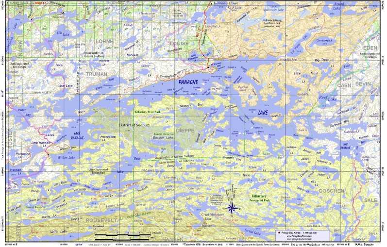 Panache Lake (township) |
 |
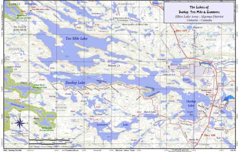 Dunlop & Ten Mile Lakes |
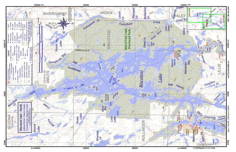 Biscotasi Lake - North |
 Restoule - French River Canoe Route |
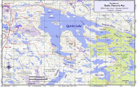 Quirke & Popeye Lakes (township map) |
15 Birch Road, Elliot Lake, Ontario, Canada, P5A 2C9
705 461-1521
