 Coordinate
GIS
Coordinate
GIS
Geographic Information Systems, Data Analysis & Display, Global Positioning Systems, Mapping & Consultations

|
|
The |
|
|
|
|
Published
August 2002 |
|
|
|
|
|
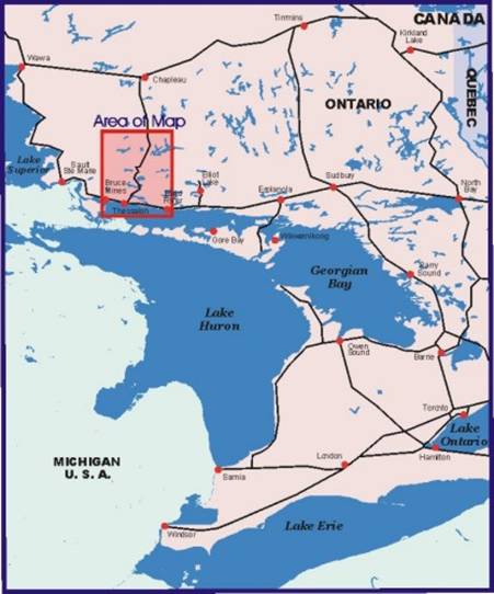
Ontario Region covered by Map: Blind River, Iron Bridge, Bruce Mines, Thessalon, Rydal Bank Wharncliffe, Ranger Lake, Aubrey Falls, Mississagi River, Rocky Island Lake, Hilton Beach, Hwy 129. |
|
|
|
|
|
|
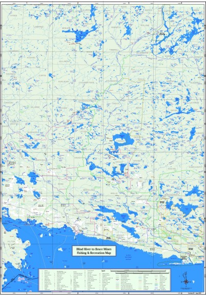
The Map |
|
|
|
|
|
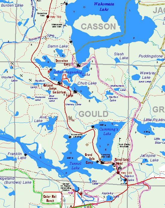
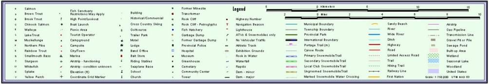
Map detail showing Highway 129, and snowmobile trails, as well as hydro
lines, local lodges,fish species, launching spots, and lake elevations.
Hwy 129 runs from Thessalon to Chapleau in Ontario, Canada |
|
|
|
|
|
|
|
|
Legend |
|
|
|
|
|
|
|
|
|
|
|
Coordinate GIS, |