logo Coordinate GIS

  Geographic Information Systems, Data Analysis & Display, Global Positioning Systems, Mapping & Consultations
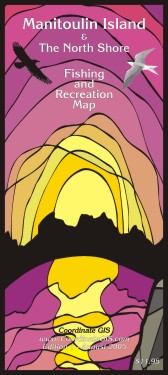
 title line

Home

To Purchase

this Map

GIS Services

 Contact Us

View Back of this Map

Next Map »

 M4 small

Manitoulin Island & The North Shore – Fishing & Recreation Map

Edition 3 - Published March 2017
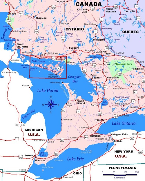
Ontario Region covered by Map: Aundeck Omni Kaning, Blind River, Espanola, Gore Bay, Kagawong, Killarney, Little Current, Massey, M'Chigeeng, Manitowaning, Meldrum Bay, Mindemoya,  Providence Bay, Sheguiandah, South Baymouth, Webbwood, Whitefish Falls & Wikwemikong.

Smaller maps of these towns appear on the back of the main map.

Ontario Location

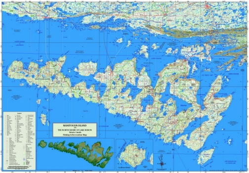
Manitoulin Island and the North Shore of Lake Huron Contours of the La Cloche Mountains and Manitoulin Island
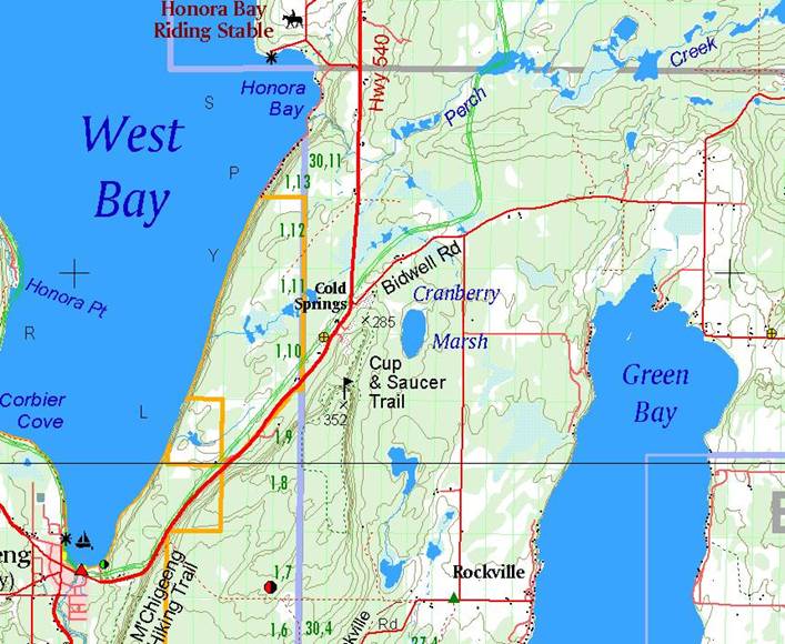
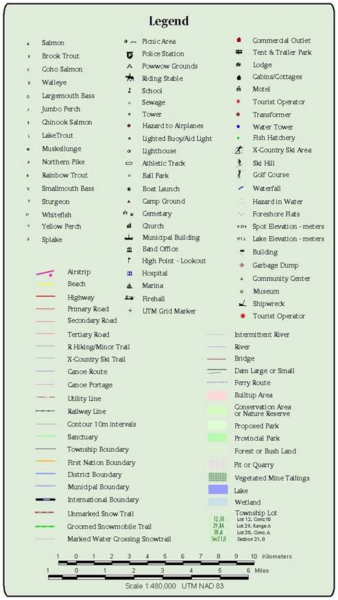
M4Ed3 Manitoulin Island & the North Shore


Below is a section of the map showing the level of detail.
This shows the island’s famous Cup & Saucer Hiking Trail and
the M’Chigeeng Hiking Trail

M4 Legend
 

View Back of this Map

Coordinate GIS, Elliot Lake, Ontario, Canada P5A 2C9 - 705-461-1521

info@CoordinateGIS.com

Find us here via - www.theMapLady.ca

Manitoulin Island Topographic Map, Manitoulin Island Fishing Map, The North Shore of Lake Huron